• Copyright © 2021 Geoterra Image (PTY)Ltd
  • PRIVACY POLICY
  • PAIA MANUAL
GTI
MENUMENU
  • HOME
  • ABOUT US
  • SECTOR FOCUS
        • AGRICULTURE
        • INSURANCE & FINANCE
        • DATA FOR AFRICA
        • TELECOMS
        • EARTH OBSERVATION
        • SURVEY SOLUTIONS
        • SUSTAINABLE DEVELOPMENT
        • URBAN PLANNING
        • NATURAL RESOURCES
        • RETAIL AND FMCG
        • SPATIAL MODELLING
        • UTILITIES AND SERVICES
  • MEDIA
    • BLOGS
    • POLICIES & LEGISLATION
    • DOWNLOADS
  • CONTACT US
Select Page
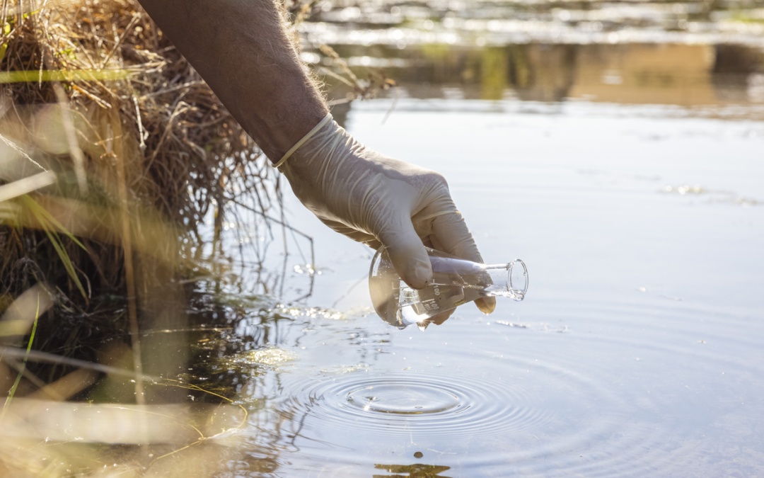
Exploring Advances in Water quality Monitoring with Satellite Imagery

Exploring Advances in Water quality Monitoring with Satellite Imagery

by gtimarketing | Jul 30, 2024 | Newsletters

Exploring Advances in water quality monitoring with satellite imagery Listen to the audio version Exploring advances in water quality monitoring with satellite imagery 5-minute read Water quality is a critical aspect of environmental monitoring and influences the way...

Revolutionizing Carbon Inventory Projects: GTI’s On-Demand Supply of Standardized Vegetation Biomass Inventories

Revolutionizing Carbon Inventory Projects: GTI’s On-Demand Supply of Standardized Vegetation Biomass Inventories

by gtimarketing | May 24, 2024 | Newsletters

Revolutionizing Carbon Inventory Projects: GTI’s On-Demand Supply of Standardized Vegetation Biomass Inventories GEOTERRAIMAGE (GTI) is thrilled to unveil our operational capability for the on-demand supply of content-standardized vegetation biomass inventories,...
Tracking South Africa’s Changing Rural & Urban Developments

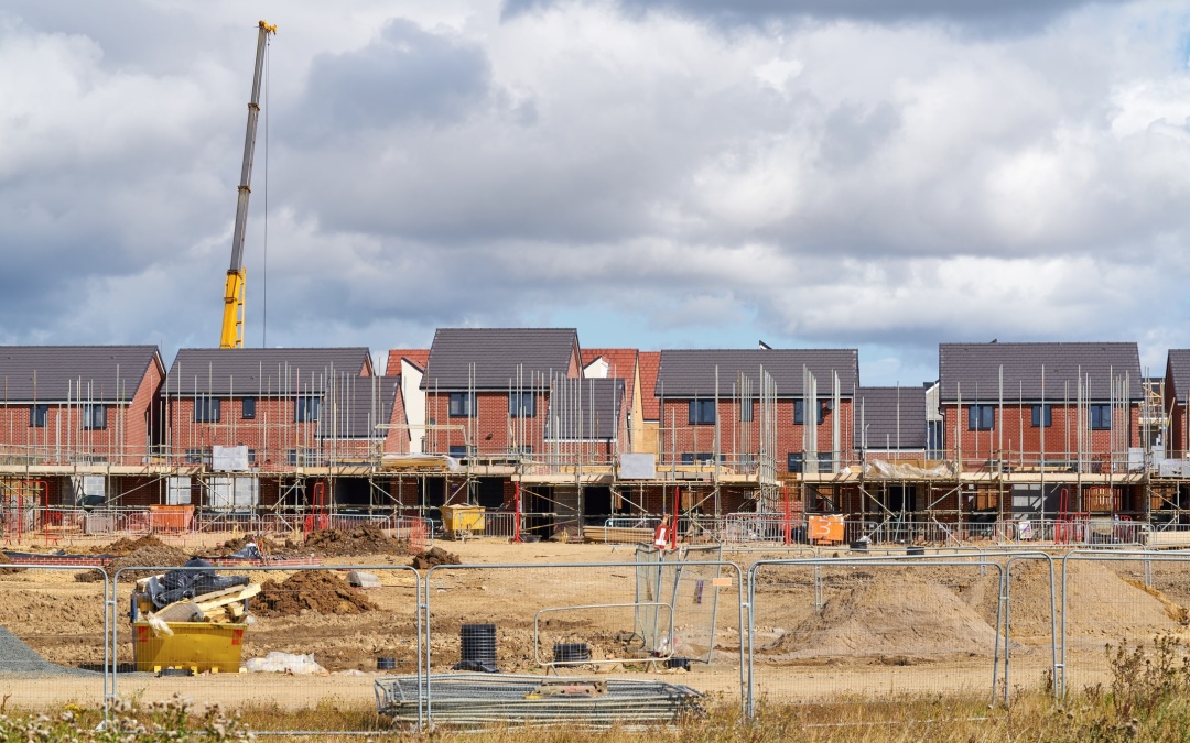
Tracking South Africa’s Changing Rural & Urban Developments

by gtimarketing | May 17, 2024 | Newsletters

Tracking South Africa’s changing Rural and Urban Developments The solution to the Lack of Accessible Information on Emerging or Declining New Developments The dynamic landscape of new developments and population trends continually evolves, playing a crucial role...
Harnessing Remote Sensing for Water Conservation and Peacebuilding

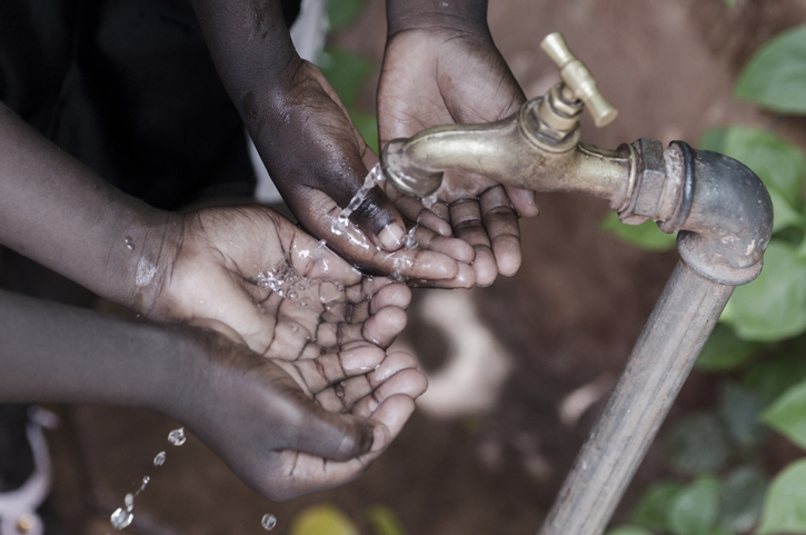
Harnessing Remote Sensing for Water Conservation and Peacebuilding

by gtimarketing | Mar 22, 2024 | Newsletters

Harnessing remote sensing for water conservation and PEACE BUILDING GEOTERRAIMAGE  proudly supports UN World Water Day 2024 to remind us of the value of our water resources. Access to clean water stands as a cornerstone of human well-being, socioeconomic advancement,...
GeoFarmer crop monitoring platform selected by WWJ Agri to guide crop damage assessment surveys

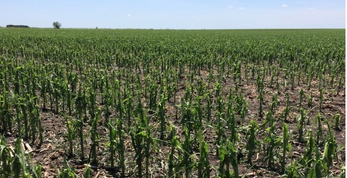
GeoFarmer crop monitoring platform selected by WWJ Agri to guide crop damage assessment surveys

by gtimarketing | Feb 23, 2024 | Newsletters

GeoFarmer crop monitoring platform selected by WWJ Agri to guide crop damage assessment surveys GEOFarmer crop monitoring platform selected by WWJ Agri to guide crop damage assessment surveys Crop insurance is an integral part of agricultural production to mitigate...
« Older Entries
Next Entries »

Recent Posts

  • Monitoring Water Quality Using Satellite Data
  • Unlock deeper Market Insights with GEOTERRAIMAGE’s Demographic & Population Data
  • South Africa’s Solar Market Is Evolving. Are You Seeing the Full Picture?
  • GEOTERRAIMAGE Message from the CEO
  • GeoTerra Image & CSIR Renew Strategic Collaboration
  • Copyright © 2021 Geoterra Image (PTY)Ltd
  • PRIVACY POLICY
  • PAIA MANUAL