
• Copyright © 2021 Geoterra Image (PTY)Ltd
  • PRIVACY POLICY
  • PAIA MANUAL
GTI
MENUMENU
  • HOME
  • ABOUT US
  • SECTOR FOCUS
        • AGRICULTURE
        • INSURANCE & FINANCE
        • DATA FOR AFRICA
        • TELECOMS
        • EARTH OBSERVATION
        • SURVEY SOLUTIONS
        • SUSTAINABLE DEVELOPMENT
        • URBAN PLANNING
        • NATURAL RESOURCES
        • RETAIL AND FMCG
        • SPATIAL MODELLING
        • UTILITIES AND SERVICES
  • MEDIA
    • BLOGS
    • POLICIES & LEGISLATION
    • DOWNLOADS
  • CONTACT US
Select Page
Harnessing Remote Sensing for Water Conservation and Peacebuilding

Harnessing Remote Sensing for Water Conservation and Peacebuilding

by gtimarketing | Mar 22, 2024 | Newsletters

Harnessing remote sensing for water conservation and PEACE BUILDING GEOTERRAIMAGE  proudly supports UN World Water Day 2024 to remind us of the value of our water resources. Access to clean water stands as a cornerstone of human well-being, socioeconomic advancement,...
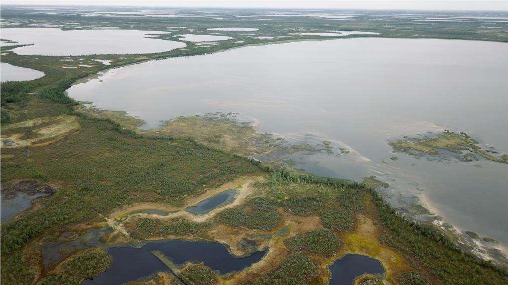
Nurturing our wetlands through evidence-based management – intelligence that is scalable across the globe

Nurturing our wetlands through evidence-based management – intelligence that is scalable across the globe

by gtimarketing | Jan 26, 2024 | Newsletters

Nurturing our wetlands through evidence-based management – intelligence Nurturing our wetlands through evidence-based management – intelligence that is scalable across the globe Wetlands are often referred to as the Earth’s kidneys because they play a crucial...
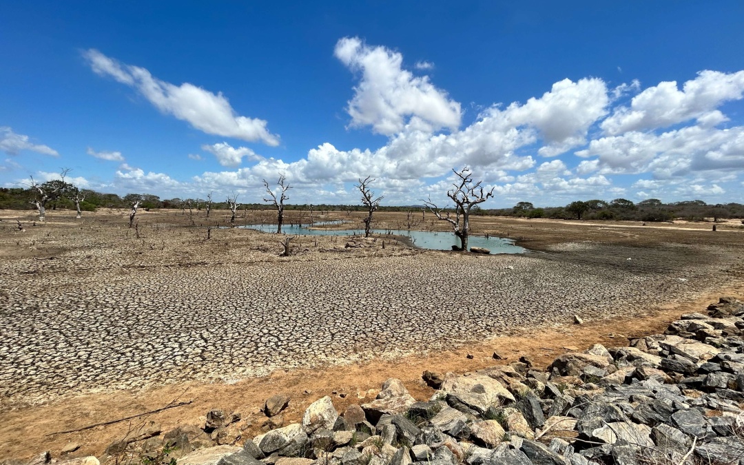
Unlocking the Potential of Water Landscape Monitoring

Unlocking the Potential of Water Landscape Monitoring

by gtimarketing | Oct 27, 2023 | Newsletters

unlocking the potential of water landscape monitoring Unlocking the Potential of Water Landscape Monitoring In an era marked by changing climate patterns and an increasing frequency of natural disasters, the need for effective drought management and preparedness...

TurbineVu 360: An Innovative Tool for Assessing Wind Farm Visual Impact

TurbineVu 360: An Innovative Tool for Assessing Wind Farm Visual Impact

by gtimarketing | Sep 15, 2023 | Newsletters

Turbinevu 360: An innovative tool for Assessing wind farm visual impact TurbineVu 360: An Innovative Tool for Assessing Wind Farm Visual Impact As the world moves towards a greener and more sustainable future, renewable energy sources like wind farms have gained...

Empowering Collaboration in Kenya – Partners in Spatial and Data Intelligence

Empowering Collaboration in Kenya – Partners in Spatial and Data Intelligence

by gtimarketing | Jul 24, 2023 | Newsletters

Empowering Collaboration in Kenya – Partners in Spatial and data Intelligence Geo-Infinity, GEOTERRAIMAGE, and the Frontline Research Group jointly introduced the new Partnerships in Spatial and data Intelligence in Nairobi, Kenya, to a widely representative local and...

« Older Entries
Next Entries »

Recent Posts

  • Monitoring Water Quality Using Satellite Data
  • Unlock deeper Market Insights with GEOTERRAIMAGE’s Demographic & Population Data
  • South Africa’s Solar Market Is Evolving. Are You Seeing the Full Picture?
  • GEOTERRAIMAGE Message from the CEO
  • GeoTerra Image & CSIR Renew Strategic Collaboration
  • Copyright © 2021 Geoterra Image (PTY)Ltd
  • PRIVACY POLICY
  • PAIA MANUAL