• Copyright © 2021 Geoterra Image (PTY)Ltd
  • PRIVACY POLICY
  • PAIA MANUAL
GTI
MENUMENU
  • HOME
  • ABOUT US
  • SECTOR FOCUS
        • AGRICULTURE
        • INSURANCE & FINANCE
        • DATA FOR AFRICA
        • TELECOMS
        • EARTH OBSERVATION
        • SURVEY SOLUTIONS
        • SUSTAINABLE DEVELOPMENT
        • URBAN PLANNING
        • NATURAL RESOURCES
        • RETAIL AND FMCG
        • SPATIAL MODELLING
        • UTILITIES AND SERVICES
  • MEDIA
    • BLOGS
    • POLICIES & LEGISLATION
    • DOWNLOADS
  • CONTACT US
Select Page
Bridging Borders: Insights from World Water Week and the Impact of WaterSphere360

Bridging Borders: Insights from World Water Week and the Impact of WaterSphere360

by gtimarketing | Sep 6, 2024 | Newsletters

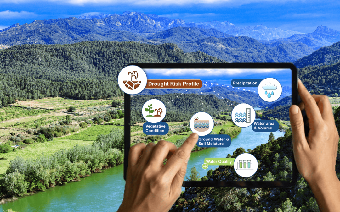
bridging the borders: insights from world water week 2024 and the impact of watersphere360 Bridging the Borders: Insights from World Water Week 2024 and the impact of WaterSphere360 At World Water Week 2024 in Stockholm, global leaders and experts gathered to explore...

Harnessing Remote Sensing for Water Conservation and Peacebuilding

Harnessing Remote Sensing for Water Conservation and Peacebuilding

by gtimarketing | Mar 22, 2024 | Newsletters

Harnessing remote sensing for water conservation and PEACE BUILDING GEOTERRAIMAGE  proudly supports UN World Water Day 2024 to remind us of the value of our water resources. Access to clean water stands as a cornerstone of human well-being, socioeconomic advancement,...
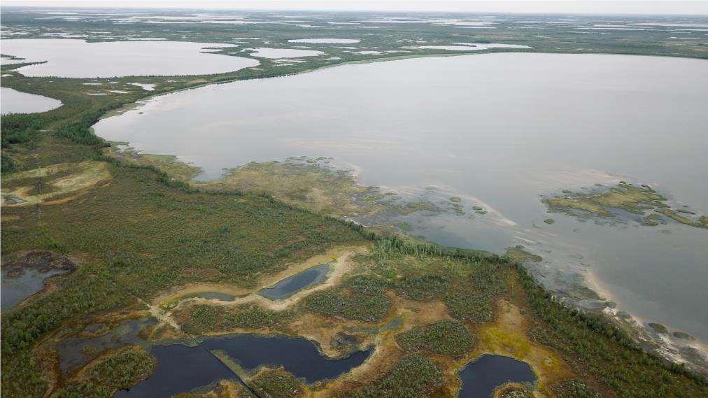
Nurturing our wetlands through evidence-based management – intelligence that is scalable across the globe

Nurturing our wetlands through evidence-based management – intelligence that is scalable across the globe

by gtimarketing | Jan 26, 2024 | Newsletters

Nurturing our wetlands through evidence-based management – intelligence Nurturing our wetlands through evidence-based management – intelligence that is scalable across the globe Wetlands are often referred to as the Earth’s kidneys because they play a crucial...
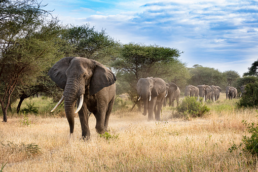
Satellite Imagery supporting Elephants in Zambia’s Western Province

Satellite Imagery supporting Elephants in Zambia’s Western Province

by gtimarketing | Apr 28, 2023 | Newsletters

Satellite Imagery supporting Elephants in Zambia’s Western Province GEOTERRAIMAGE, in collaboration with EkoSource Insights, extracted geospatial data and known elephant migration information to provide insights into the elephant population dynamics in Zambia’s...

GEOTERRAIMAGE becomes a VERRA-approved service provider

GEOTERRAIMAGE becomes a VERRA-approved service provider

by gtimarketing | Nov 18, 2022 | Newsletters

GEOTERRAIMAGE becomes a VERRA-approved service provider GEOTERRAIMAGE becomes a VERRA-approved service provider for the collection of deforestation data GEOTERRAIMAGE is proud to announce that the company has been included on a roster of global organizations qualified...
Recent Posts

  • Monitoring Water Quality Using Satellite Data
  • Unlock deeper Market Insights with GEOTERRAIMAGE’s Demographic & Population Data
  • South Africa’s Solar Market Is Evolving. Are You Seeing the Full Picture?
  • GEOTERRAIMAGE Message from the CEO
  • GeoTerra Image & CSIR Renew Strategic Collaboration
  • Copyright © 2021 Geoterra Image (PTY)Ltd
  • PRIVACY POLICY
  • PAIA MANUAL